Module 2: How GIS works
2.1 The history of GIS

|
The "Geographic Information System" (GIS) or "Geo-Information System" is the central tool of geoinformatics. The terms were first used as early as the 1960s with software in Canada (Canadian Land Data System, later Canadian Geographic Information System), which aimed to visualise various data on digital maps. Since then, the common abbreviation GIS has been used for these systems in the scientific community. This term is familiar in practice and is also increasingly used in public parlance. The basic functions of a GIS are geared towards recording, processing, analysing and displaying spatial information and are primarily used to spatial analysis and planning as a tool.1 |

|
Development phases2Die Geschichte des GIS besteht aus mehreren Etappen. Alles beginnt mit der Digitalisierung der Dateneingabe und -speicherung. |

|
QuizOrganise the development phases of GIS in the correct sequence.The history of the GIS consists of several stages. It all begins with the digitisation of data input and storage. |

|
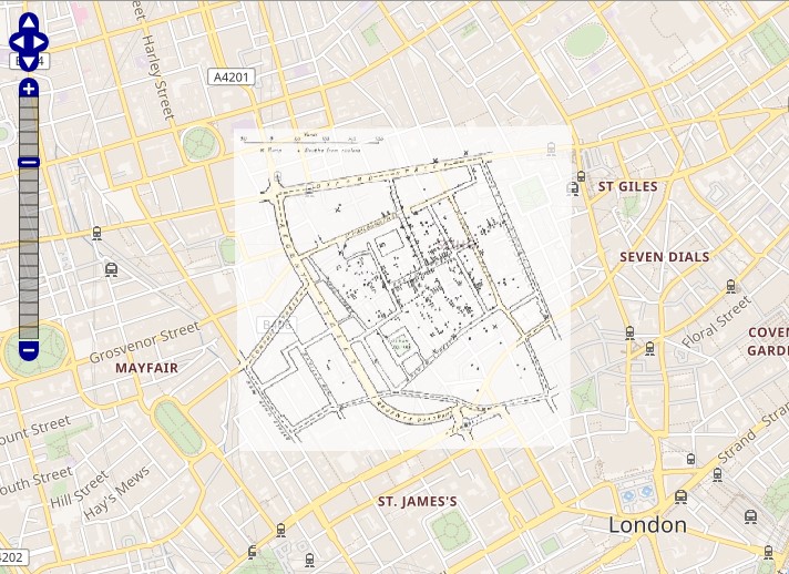
Interactive taskView the map of John Snow on an actual map of London with the Wikimaps Warper:https://warper.wmflabs.org/maps/3440#Preview_tab |

